
 THE TOA RIVER, the mightiest and isolated of Cuba. ** EL RÍO TOA, el más caudaloso y aislado de la Isla.
THE TOA RIVER. THE MIGHTIEST AND ISOLATED OF THE ISLAND.
The Toa is the mightiest and most conserved of the Cuban archipelago river basin. It extends for about 1060 km2 of mountain massif in northern eastern city of Baracoa, Guantanamo province. It is the least populated area Cuba, occupies about 70% of the biosphere reserve “Frijol” and is the best preserved of the Cuban archipelago.
Its name comes from an Indian word meaning “frog”.
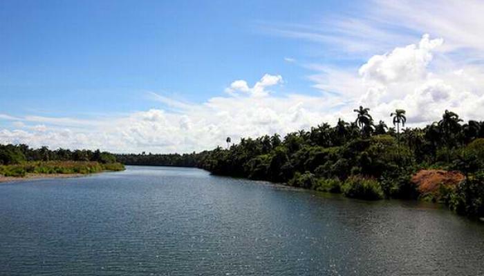
The river has a length of 130 km, rises in the mountains of Nipe-Sagua Baracoa and empties into the Frijol on the north coast of the province.
In addition to its abundant flow distinguish numerous waterfalls, including the one known as The Saltadero, the highest with 17 meters high, navigating several kilometers and good water quality.
Its basin is approximately 1,060 km² and the average annual rainfall is 2,800 mm, the largest in Cuba.
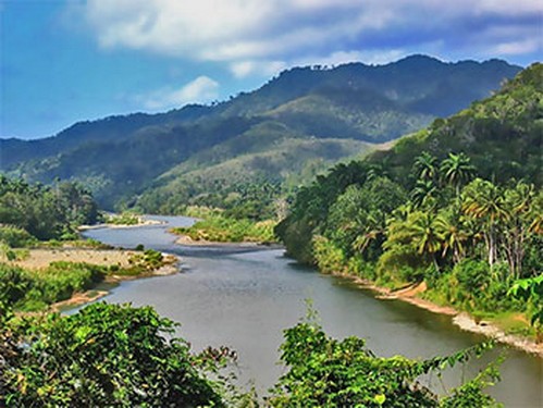
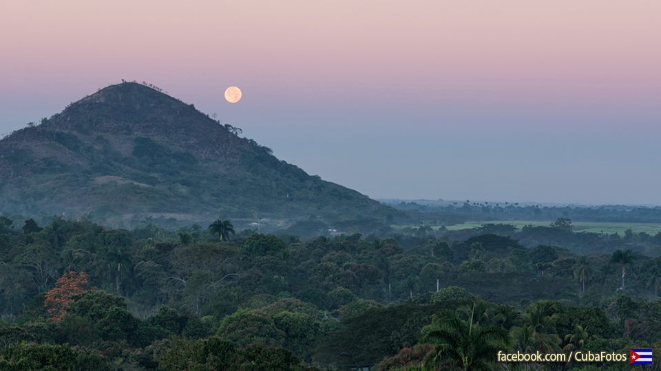
The river is one of the best preserved of the country due to the relative isolation of the area where it is located high, highly protected. Surrounded by the best preserved tropical forests of the Caribbean island, is an important ecological region.
This Biosphere Reserve by UNESCO holds a large number of species of plants and animals in danger of extinction, including the Cuban land snail, who wears brightly colored spirals and whose diameter is about two inches.
Wiki / InternetPhotos / www.thecubanhistory.com
The Cuban History, Hollywood.
Arnoldo Varona, Editor.
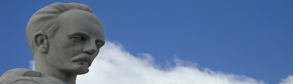
CUBA PHOTOS. Lomas cerca de Santiago de Cuba.
EL RÍO TOA, EL MAS CAUDALOSO Y AISLADO DE LA ISLA.
El Toa es el río más caudaloso y de cuenca más conservada del archipiélago cubano. Se extiende por unos 1060 Km2 del macizo montañoso del norte de oriental ciudad de Baracoa, provincia Guantánamo. Es la zona de Cuba menos habitada, ocupa alrededor del 70% de la reserva de la biosfera “Cuchillas del Toa” y es la más conservada del archipiélago cubano.
Su nombre procede de una voz indígena que significa “rana”.
El río tiene una longitud de 130 km, nace en las montañas de Nipe-Sagua Baracoa y desemboca en las Cuchillas del Toa en la costa norte de la provincia.
Además de su abundante caudal lo distinguen numerosas cascadas, entre ellas, la conocida como El Saltadero, la más elevada con 17 metros de altura, la navegación por varios kilómetros y la buena calidad del agua.
Su cuenca es de aproximadamente 1.060 km² y la lluvia media anual es de 2.800 mm, la mayor de toda Cuba.
El río es uno de los mejor conservados del país debido al relativo aislamiento de la zona donde se encuentra enclavado, altamente protegida. Rodeado por los bosques tropicales mejor conservados del Caribe insular, es una importante región ecológica.
Esta Reserva de la Biosfera de la UNESCO ostenta un gran número de especies de plantas y animales en peligro de extinción, incluyendo el caracol terrestre cubano, que luce espirales de llamativos colores y cuyo diámetro es de unas dos pulgadas.
Wiki/InternetPhotos/www.thecubanhistory.com
The Cuban History, Hollywood.
Arnoldo Varona, Editor.